
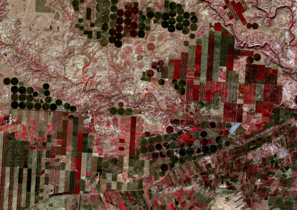
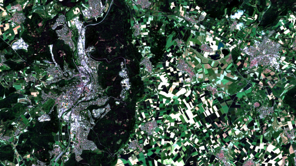
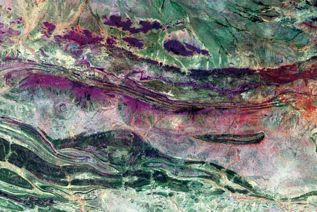
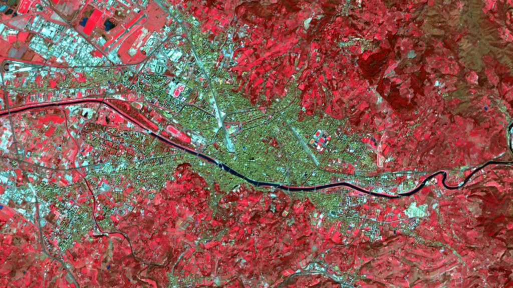
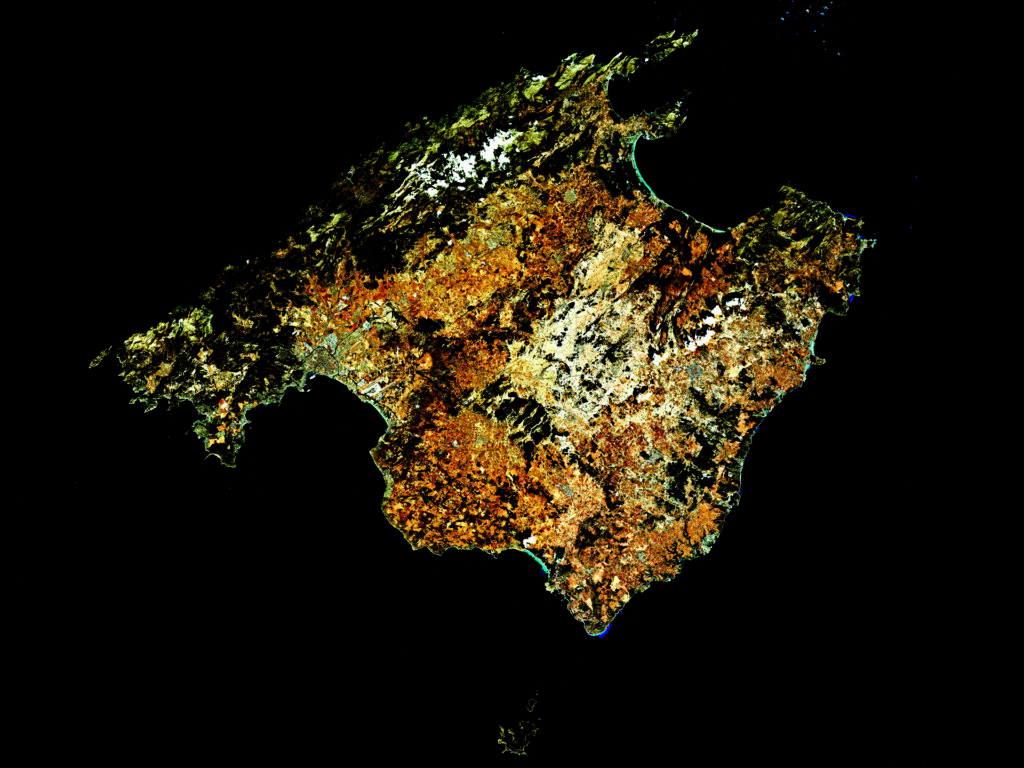
GRASS GIS feiert 40 Jahre!
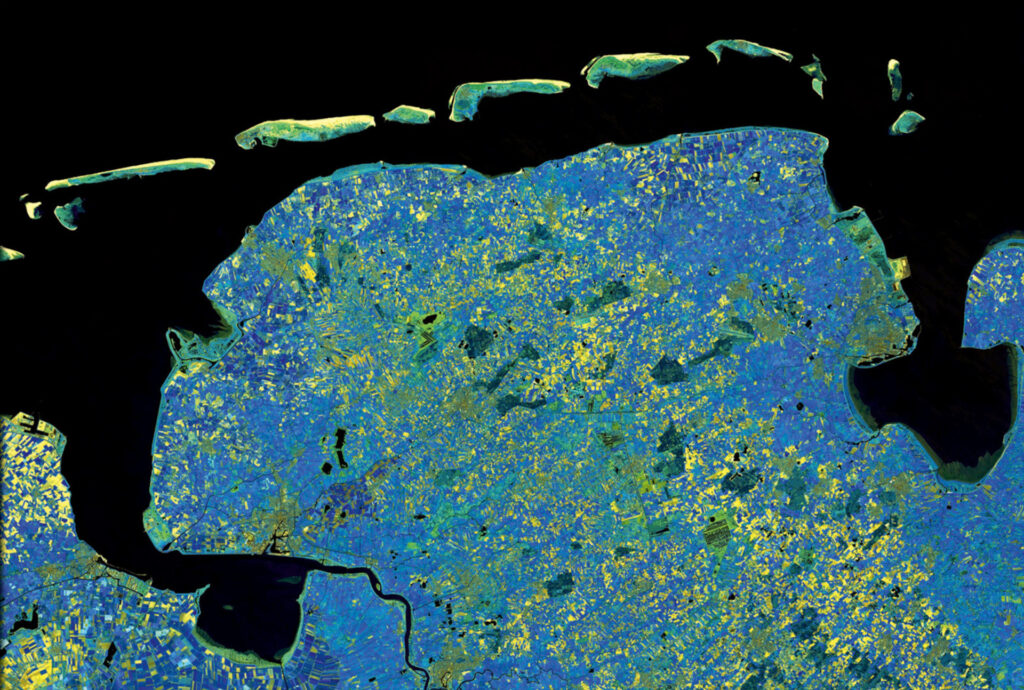
Ja, unglaublich aber wahr: GRASS GIS gibt es als freie Software schon seit 40 Jahren und ist damit ein Pionier auf dem Gebiet der Open Source GIS. Auch ist GRASS GIS ein OSGeo und FOSSGIS e.V. gefördertes Projekt! Aus diesem Anlass fand von 02.06. – 06.06.23 eine GRASS GIS Community-#Codesprint in der Czech Technical University in Prague statt. Ausgerichtet und organisiert […]
mundialis bietet Mitarbeitern Jobräder an
Dienstradleasing als gezielter Beitrag zur Mitarbeitergesundheit und für mehr nachhaltige Mobilität Mitarbeiter profitieren von neuer staatlicher Förderung. Mundialis ermöglicht ihren Angestellten seit Juni 2023 die Nutzung hochwertiger Leasingfahrräder und -E-Bikes. Mit dem JobRad-Leasingangebot möchte mundialis gezielt die Gesundheit seine Mitarbeiterinnen und Mitarbeiter fördern. „Wer regelmäßig Fahrrad oder E-Bike fährt, ist im Alltag weniger gestresst und […]
Abschluss des Projektes FAIR
Das Wetter und das Klima dominiert unser aller Leben Besonders das Extremwetterereignis, welches zu den heftigen Überschwemmungen und dem Hochwasser an der Ahr geführt hat, hat der Gesellschaft wieder vor Augen geführt, wie stark meteorologische Ereignisse uns beeinflussen können. Alle Menschen sind von Klimawandel, Extremwetterereignissen oder dem lokalen Wetter des Tages vor der Haustür betroffen […]
Die FOSSGIS 2023 – diesmal wieder in Berlin!
Die diesjährige FOSSGIS Konferenz wird nach 2007 (Humboldt-Universität) und 2014 (Beuth Hochschule) dieses Jahr wieder nach Berlin zurückkehren. Ausrichter sind wie immer der FOSSGIS e.V. sowie in diesem Jahr das Geographischen Institut der Humboldt-Universität zu Berlin. Zwischen dem 15. und 18. März treffen sich die Aktiven der deutschsprachigen Community in Berlin Adlershof und seit 2020 […]
++ Eine neue Heimat für Actinia ++
Der Source Code von actinia ist umgezogen! Um die actinia GitHub Repositories übersichtlicher zu stukturieren, ist der Source Code von actinia in eine eigene Organisation [actinia-org]¹ umgezogen. Hier liegt jetzt neben dem [actinia-core]² Repository auch die Plugins, eine [Einführung in actinia]³, der [actinia-python-client]⁴, eine [Prozesskettensammlung]⁵, die wir nach und nach füllen werden und vieles mehr. […]
Positiv in die Zukunft – Änderungen in der Geschäftsführung bei mundialis
Nach vier Jahren haben zum 01. Oktober 2022 die beiden Geschäftsführer Torsten Brassat und Marc Jansen die Geschäftsführung bei mundialis abgegeben, bleiben als Geschäftsführer der Firma terrestris der Firma mundialis jedoch eng verbunden. „Für ihre hervorragende Arbeit, mit der Torsten Brassat und Marc Jansen mundialis erfolgreich aus der Start-Up Phase herausgeführt haben“, bedankt sich Gesellschafter […]
Zusammenfassung von der FOSS4G 2022 in Florenz
Im August hatten wir von mundialis das Vergnügen, an der FOSS4G 2022 in Florenz teilnehmen zu dürfen. Da es wieder eine Präsenzveranstaltung war, gab es viele Gelegenheiten, mit anderen Teilnehmer:innen zu sprechen, sich auszutauschen, Ideen zu entwickeln und natürlich eine Reihe exzellenter Vorträge zu hören (Programm der Kernkonferenz). Die wunderschöne Stadt Florenz war Ende August […]
FOSS4G 2022 in „La Bella“ – Florenz lässt grüßen!
Nach dem Corona-bedingten Ausfall der FOSS4G in Calgary in 2020 sowie der Online-FOSS4G-Konferenz aus Buenos Aires im Jahr 2021 findet die diesjährige FOSS4G-Konferenz endlich wieder in Präsenz und nach Bukarest 2019 wieder in Europa statt. Die ausrichtende Stadt Florenz am Arno, die in Italien den Beinamen „La Bella“ trägt, hat auch touristisch viel zu […]
VALE Projekt erfolgreich abgeschlossen
Mit den Präsentationen beim Living Planet Symposium 2022 konnte mundialis das Projekt VALE (Entwicklung und VALidierung von erdbeobachtungsbasierten Indikatoren für das Monitoring des Sendai Rahmenwerks am Beispiel von Hochwasser in Ecuador) erfolgreich abschließen. In dem vom BMWI geförderten Forschungsprojekt wurde gemeinsam mit unseren Projektpartnern von der United Nations University untersucht, inwieweit Fernerkundungsdaten zur Berechnung von […]
ESA Konferenz zu Erdbeobachtung – Rückblick auf LPS 2022
Wie können Ursachen und Folgen von Naturkatastrophen überwacht werden? Was kann Fernerkundung zur Ernährungssicherheit beitragen? Und wie können die riesigen Datenmengen an Satellitendaten möglichst automatisiert prozessiert und ausgewertet werden? Das waren nur ein paar der zahlreichen Fragen, die in der vergangenen Woche auf dem ESA Living Planet Symposium (LPS), eine der weltweit größten Konferenzen zur […]