We are pleased to report on the first training session for the GRASS GIS tool r.sim.water that we conducted for the city’s drainage department in Düren. The goal was to improve the assessment, visualization, and simulation of flooding potential during heavy rainfall events.
r.sim.water is a powerful tool for simulating water runoff, providing detailed insights into how water flows across a landscape surface during rainfall and how it may accumulate. By integrating topographic data and visualizing the results, flood-prone areas can be precisely identified.
However, the use of r.sim.water comes with challenges, such as high computational demands for larger areas and the need for careful data preparation. For instance, it is possible to account for or simulate buildings, above-ground and underground drainage channels in order to guide water flow during heavy rainfall, provided the input data is properly prepared and adjusted.
If you would like to use r.sim.water for analysis or planning purposes, we offer training and support to help you effectively apply the tool. More information is available under Services.


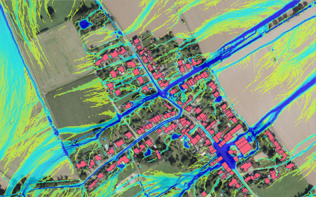
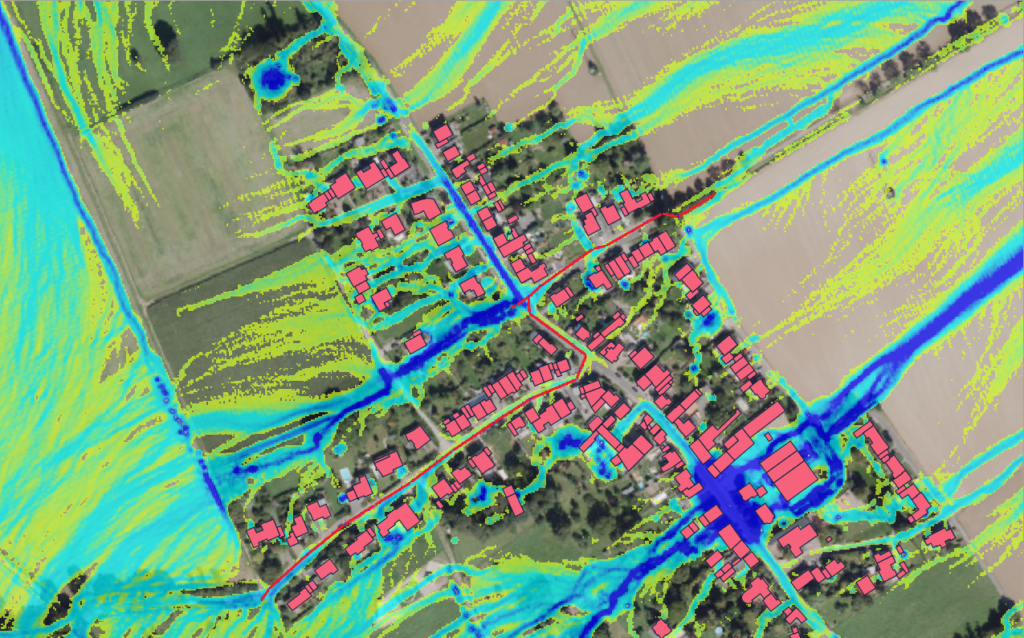
The illustration on the left shows a scenario without an underground drainage channel, while the one on the right shows the simulation with such a channel. In this scenario, no flooding occurs in the local catchment area.
