Services

Mundialis offers a wide range of geospatial data processing and analysis services tailored to businesses, organizations and government agencies. On you too!

Individually or in a package: Which
Services you need?

We offer customized solutions for your needs. From individual service to complete packages – we are your partner for successful projects. Contact us today and benefit from our expertise!

Our consulting portfolio, which we always tailor to your individual needs, puts you at the center of everything we do: from selecting and implementing customized Free and Open Source Software (FOSS) solutions for remote sensing and geospatial data analysis to helping you migrate from proprietary to Free Software. In doing so, we always pay attention to optimizing your workflows through targeted adjustments and improvements.

In the context of open source, we also focus on the development and customization of tailor-made software that is perfectly suited to your specific requirements. To ensure the seamless integration of your software into existing systems and workflows, we offer professional support. Finally, we round out our offering with technical support and maintenance services to ensure you always have the latest updates and functionality. Our goal is to provide you with end-to-end solutions that are tailored to your specific needs and accompany you on your way to a technologically more efficient and flexible future.

FOSS
Open Source
Efficient
Flexible

The cloud-based geoprocessing platform actinia from mundialis enables the processing of large volumes of geodata in near real-time. Thanks to its REST API, it can be integrated into your own business processes. Actinia accesses updated satellite data from organizations such as NASA and ESA. Applications are diverse, ranging from participatory urban planning, providing data on building density and urban parks, to digital agriculture, supporting detection of soil degradation and drought, and providing weather and climate data for optimizing seeding, fertilization and harvesting

Cloudprocessing
Large amounts of data
actinia
Rest API

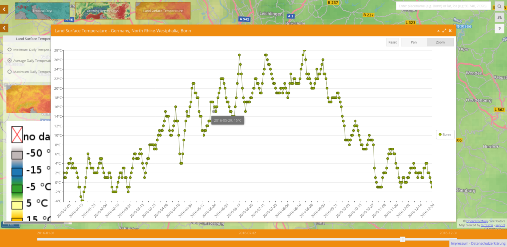
mundialis offers a wide range of analyses of earth observation data. With more than a decade of experience in spatial data analysis, we have in-depth knowledge in gap-filling and data aggregation of MODIS land surface temperature time series.
Once these data are processed, they allow us to conduct environmental modeling, particularly related to invasive species, such as the spread of the tiger mosquito.

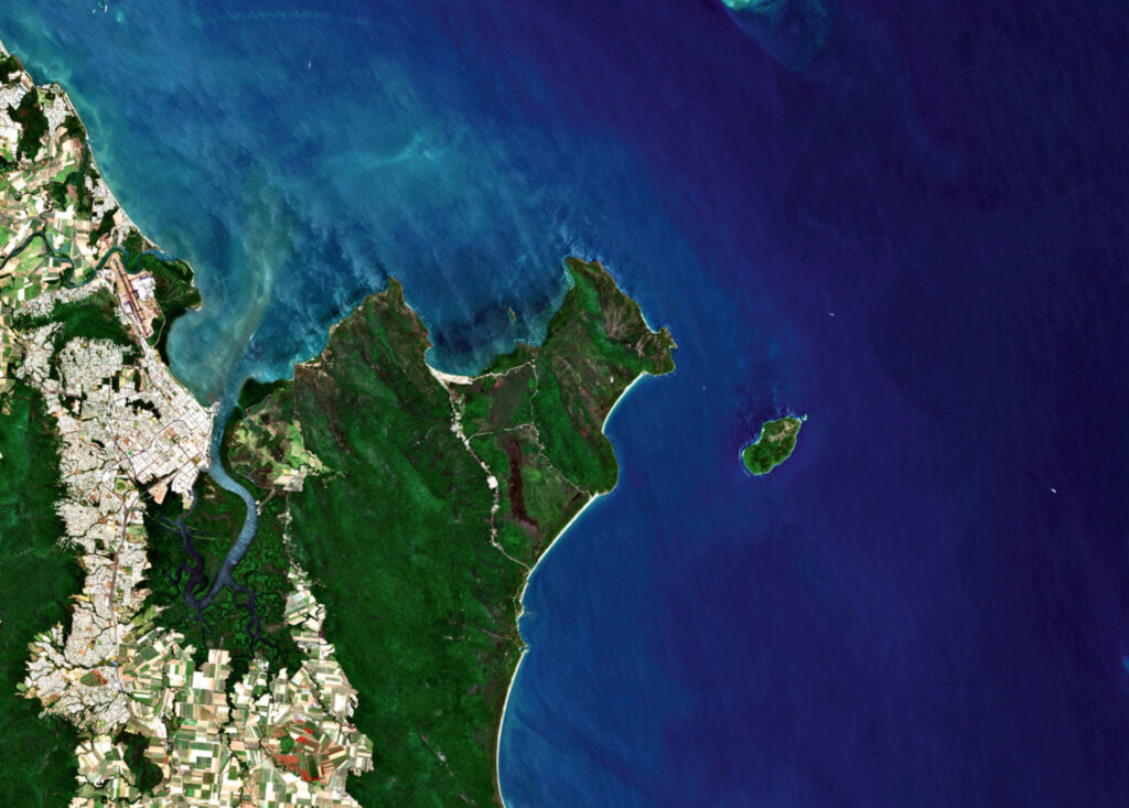
Our expertise also extends to the processing of UAV images in the visible, infrared, and thermal spectrums. We evaluate aerial and satellite imagery from historical to modern multispectral data and have a special interest in time series processing of satellite data. This allows us to extract NDVI data, assess urban heat islands, identify land use and land cover using object-based image analysis (OBIA) and machine learning.

Our portfolio includes processing of a variety of data sources, from drones to various satellites such as Landsat, Sentinel, Airbus Pléiades and Worldview. This strategic use of spatial and Earth observation data leads to informed, cost-effective, and targeted decisions.

UAV recordings
MODIS
NDVI
Atmospherically corrected

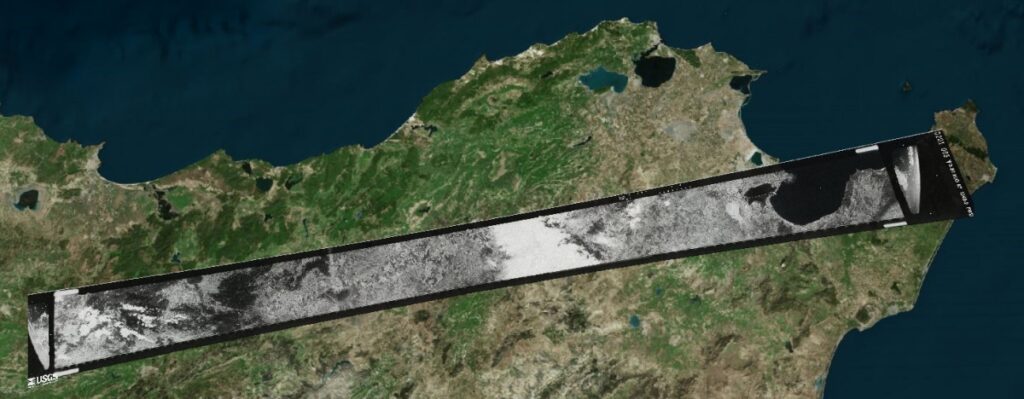
CORONA is the code name for the United States’ first optical spy satellite mission (1960-1972). The goal of the mission was to produce high-resolution analog photographs of most of the Earth’s surface, particularly political hotspots and military sites(Wikipedia). The regular recordings allowed large areas to be continuously monitored and evaluated for the Department of Defense. The more than 800,000 photos remained secret until 1995, when they were made publicly available by the U.S. Geological Survey by order of President Bill Clinton. The high-resolution CORONA photos (2 m to 60 cm pixel resolution) are available as scans for a fee from the USGS and provide a unique source of information for science, archaeology, and other disciplines.

Since the camera systems of the CORONA satellites have a special panoramic distortion, usual rectification methods cannot be used for the orthorectification of the scans.
mundialis has developed an innovative technology to rectify these unreferenced scans of CORONA photos to actual map references. This photogrammetric solution mathematically models the CORONA camera, allowing precise referencing of CORONA data.

Keyhole Spionagesatellitenbilder Tunis
Keyhole
Corona satellites
Orthorectification
Equalization

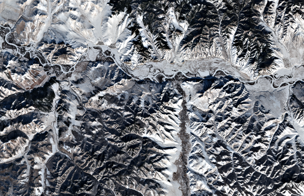
We cover a wide range of geospatial and remote sensing data services. Our offer includes obtaining such data for your specific requirements. We understand not only the potential of this data, but also its limitations, so we can help you make the most of the resources available.

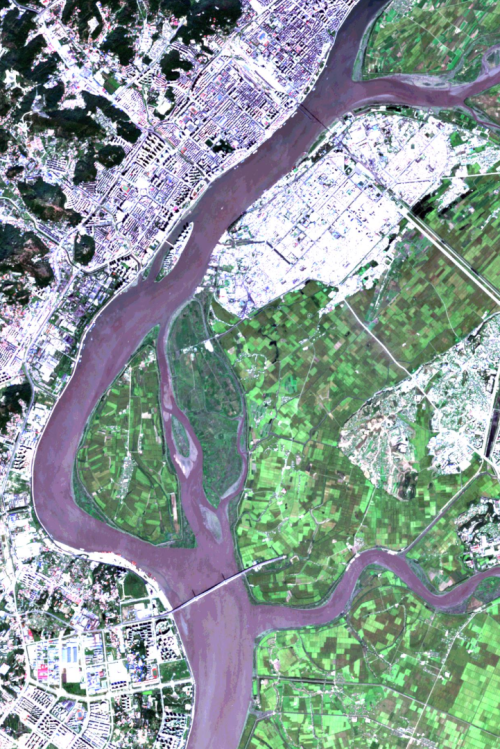
Our expertise also extends to land use classification, vegetation analysis, or damage assessment after natural disasters – we have the experience and know-how to assist you in these areas.

We support companies in the data management of their geodata. From organization, administration and storage to the development of geodatabases such as PostGIS and data visualization with GeoServer, we are your reliable partner in all aspects of geodata management.

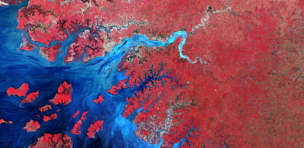
One of our focal points is the analysis of the Sentinel satellite data of the European Copernicus program. The time series of these satellites are processed in parallel and the results are offered as files or OGC Web Services. We add value through radiometric/geometric or atmospheric corrections, index calculation, image classifications and more.

Land Use
Time series
Vegetation
Image classification

Automation of fiber optic route pre-planning and acceleration of FTTH rollout with mundialis

Our software solution automates planning in a build-out area from aerial photos to potential fiber routes. We support your planning by:

  • Consulting and procurement of geodata in general
  • Cloud-based geodata processing through our actinia cloud solution
  • Evaluation and provision of geodata derivatives from OpenStreetMap, openNRW data (and many more).

For the planning process fiber optic cable laying we offer:

  • Generation of surface data from aerial photographs (e.g. for route optimization)
  • Determination of exclusion areas for routes, distribution boxes, etc. based on rules and regulations
  • Optimal route search based on various input data (surface use, road, ALKIS data, etc.)
  • Optimal distribution of the network distribution boxes
  • Visibility analyses for the placement of power distribution boxes (e.g. for historic preservation requirements, etc.)
Trenching
Route planning
FTTH expansion
Broadband

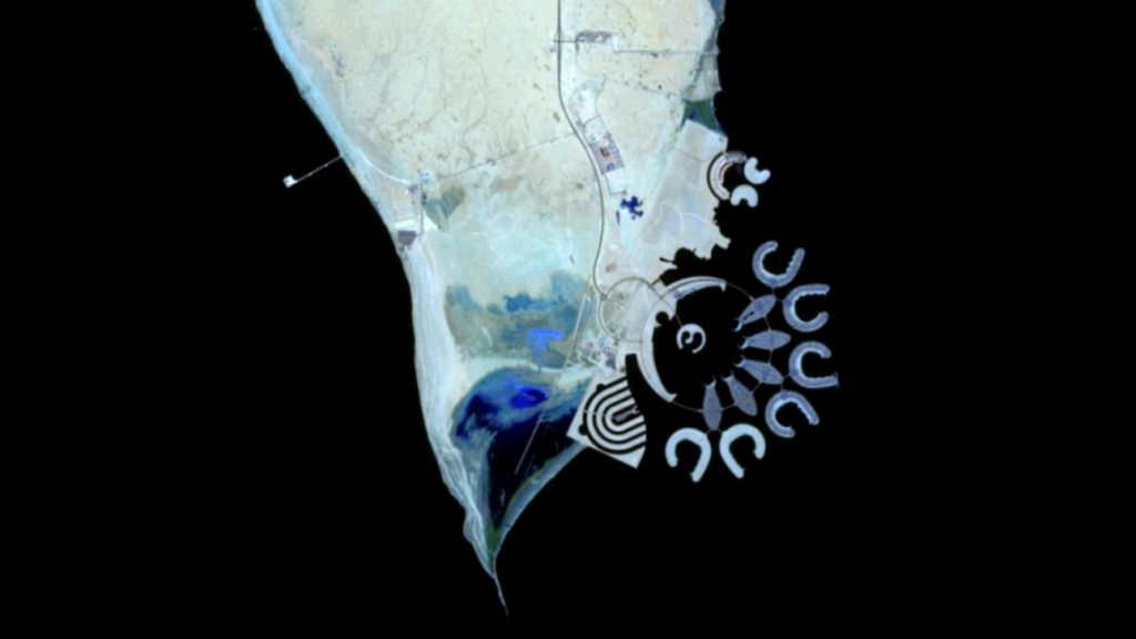
Analysis Ready Data (ARD) is processed satellite imagery that saves users from pre-processing. Pre-processing is a tedious task that is often underestimated by laymen. In particular, time series analysis of satellite imagery usually requires several steps. First, all relevant data is searched and downloaded, often from multiple providers, as there is no central index for all images. Then the data is tailored to the area to be analyzed. This is followed, if necessary, by pixel-precise coregistration to match the different images, which often have different resolutions.
This more geometric work is followed by an atmospheric correction of the optical data by converting the pixel values of the satellite image scenes from “above the atmosphere” to “on the ground” using, for example, an atmospheric model. Clouds, missing pixels and outliers are then filtered out to avoid misleading readings. Last, the data is subjected to radiometric correlation to standardize readings from different sensors. Only when these steps have been completed can the actual data analysis begin.

mundialis offers the service of carrying out these complex processes and providing the customer with analysis-ready data (ARD).

Data Analysis
Preprocessing
Atmospheric model
Complex processes

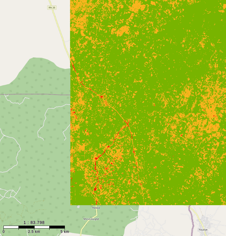
mundialis unterstützt Unternehmen umfassend bei der Einhaltung der EU-Direktive zur Entwaldung (EUDR), die darauf abzielt, Produkte aus entwaldungsfreien Lieferketten in der EU zu fördern. Mit Hilfe von Fernerkundungsdaten und Machine-Learning-Algorithmen dokumentiert mundialis historische Landnutzungsänderungen und weist so nach, dass Produkte nicht von entwaldeten Flächen stammen. Damit wird der geforderte Nachweis erbracht, dass nach dem Stichtag 31.12.2020 keine Entwaldung stattgefunden hat. Die Kombination von hochauflösenden Satellitendaten, Radardaten und optischen Sensoren ermöglicht ein kontinuierliches Monitoring der relevanten Flächen, so dass Veränderungen frühzeitig erkannt und dokumentiert werden können.

Die Einhaltung der EUDR ist für die Förderung der Nachhaltigkeit von entscheidender Bedeutung, da sie dazu beiträgt, die Entwaldung und den damit verbundenen Verlust an biologischer Vielfalt zu stoppen. Durch die Förderung nachhaltiger Praktiken in der Lieferkette können Unternehmen verantwortungsvolle Beschaffungsstrategien umsetzen. Darüber hinaus steigert die Transparenz in der Lieferkette das Vertrauen der Verbraucher:innen, die zunehmend Wert auf umweltfreundliche Produkte legen. Monitoring-Programme, wie die von mundialis angebotene Lösung, tragen wesentlich dazu bei, die lückenlose Einhaltung der Vorschriften sicherzustellen und leisten somit einen positiven Beitrag für eine nachhaltige Zukunft.

Monitoring
EUDR
präzise
zuverlässig

Individually or in a package: Which
Services you need?

We offer customized solutions for your needs. From individual service to complete packages – we are your partner for successful projects. Contact us today and benefit from our expertise!