
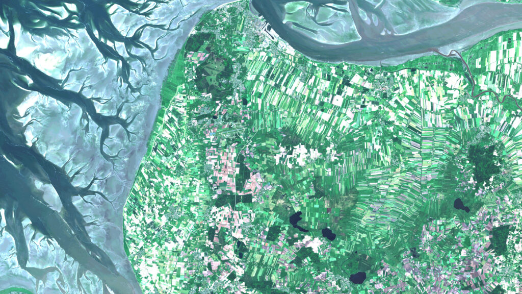
KIBI: AI-based identification and classification of protected plant communities
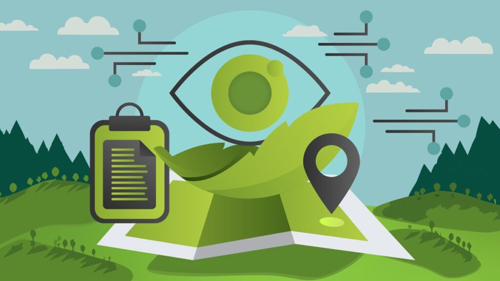
We are pleased to announce our upcoming research project KIBI!Together with our partners Koblenz University of Applied Sciences and Forschungszentrum Jülich under the consortium leadership of CISS TDI GmbH, we will tackle the precise mapping of protected plant communities (GPG) using satellite and aerial survey data. We use machine learning to identify and classify GPGs […]
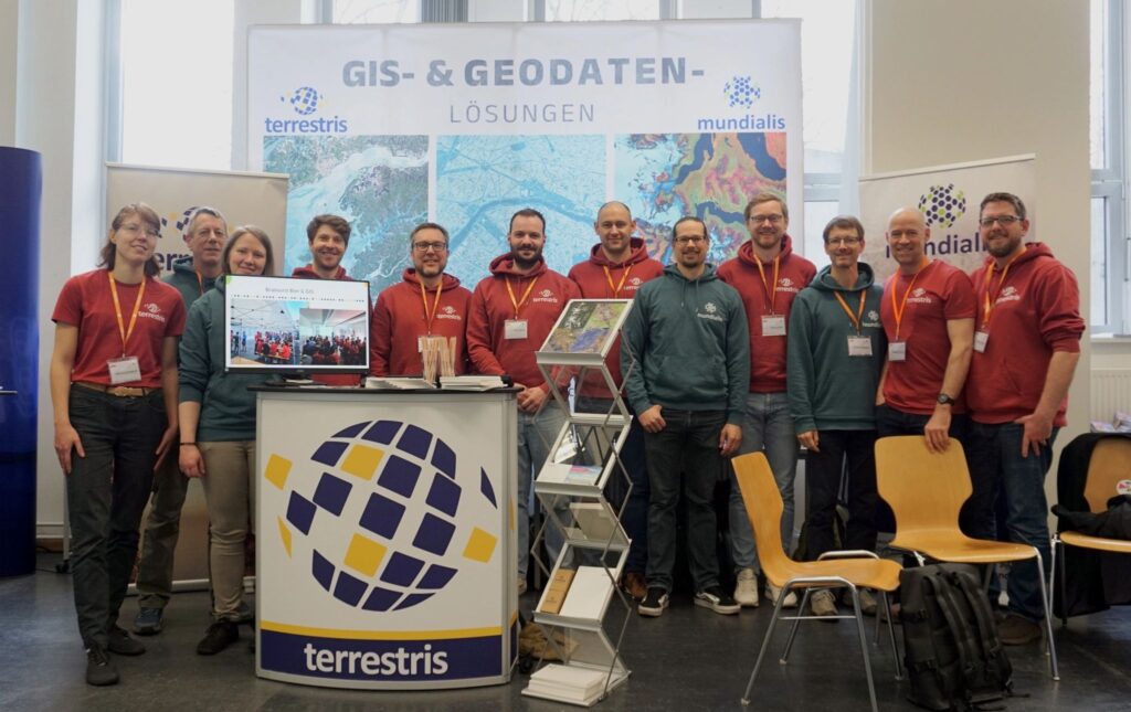
Bratwurst, beer and GIS 2024
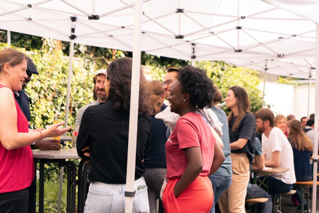
Recently, terrestris and mundialis once again held their joint summer party under the motto “Bratwurst, beer and GIS”. The “GIS” component was covered by exciting presentations: Vanessa Dunker (GGR) spoke about “Transformation potential of large-scale parking lots for sustainable urban redevelopment”. Sahar Gholami (City of Meckenheim) and Hannes Blitza (terrestris) presented “Digitization and optimization: Setting […]
mundialis at the Bonn company run
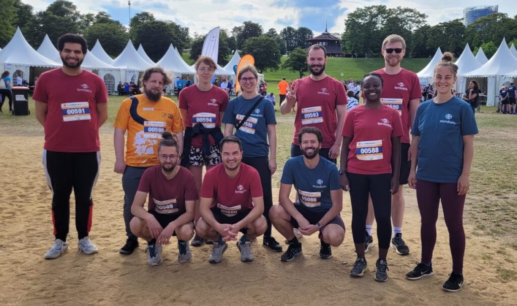
More than 10,000 participants took part in the 15th Bonn Company Run, organized by Weis Events GmbH, on August 24 in changeable weather but in high spirits. Together with our colleagues from terrestris GmbH & Co. KG and CISS TDI GmbH, we from mundialis GmbH & Co. KG took part with over 40 participants on […]
Transformation potential of large parking areas for sustainable urban redevelopment
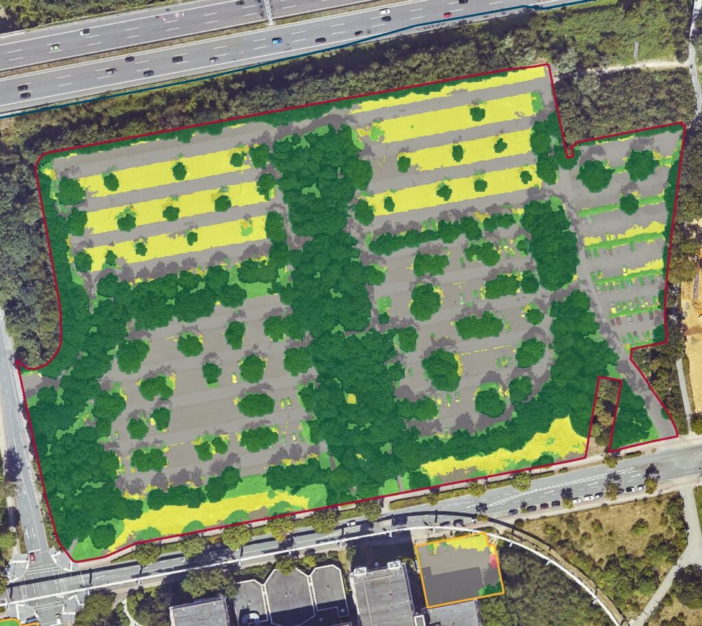
What role do parking lots play in upgrading our cities? How can they be transformed to make the cityscape more modern, ecological and future-oriented? This is the subject of the research project “Transformation potential of large-scale parking lots for sustainable urban redevelopment”. With the three model municipalities of Dortmund, Görlitz and Ulm, various transformation concepts […]
News on CO₂e compensation at mundialis for 2021 and 2022
As part of our environmental management system and ISO 19001 certification, which we received at the end of 2023, we aim to minimize the environmental impact of our travel activities. The amount of CO₂e emitted due to company mobility is to be offset at the beginning of the year for the previous year As the […]
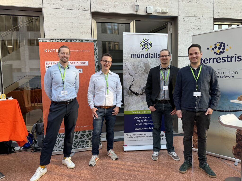
FOSSGIS 2024
We are pleased to have been part of the 21st FOSSGIS conference from March 20-23, 2024 in Hamburg. The event will focus on free and open source software for geoinformation systems and on the topics of open data and OpenStreetMap. Exciting discussions took place at the joint stand with our colleagues from terrestris. We would […]
Welcome to the catalog of German space actors
Welcome to the catalog of German space actors! This is now also the case for mundialis GmbH & Co KG!We have been included as an actor in the newly compiled catalog of German space actors of the German Aerospace Center. We are listed there under the headings “Space-based applications” and “Earth observation”. This underlines our […]
Forum Klimaresilienz NRW’24
Der Klimawandel ist nicht nur etwas, was sich irgendwo anders abspielt. Sondern auch genau hier bei uns in NRW spielt sich Klimawandel ab.Um die Gesellschaft widerstandsfähiger gegenüber den Klimafolgen zu machen veranstaltete das Umweltminusterium NRW durch das Netzwerk Klimaanpassung und Unternehmen.NRW das FORUM KLIMARESILIENZ NRW’24. Wir sind überzeugt, dass Innovation und Zusammenarbeit zwischen der öffentlichen Hand und […]
Certified quality and environmental management at mundialis and terrestris
In 2023, a primary goal of mundialis and our sister company terrestris was to achieve successful certification of our respective quality and environmental management systems in accordance with the DIN EN ISO 9001:2015 and DIN EN ISO 14001:2015 standards. We are pleased to announce that our efforts in this regard have been crowned with success […]
Unsere neue Webseite ist online
Free Data With Free Software Was lange währt wird endlich live – unter unserem Motte “Free data with free software” ist seit letzter Woche nun endlich unsere neue Webseite – diese Seite, die ihr liebe Leser aktuell vor Augen habt – live! Viel Arbeit, Schweiß und unzählige Stunden und Gedanken sind in die Konzeption und […]