
terrestris & mundialis on big retreat – an exciting and intensive week
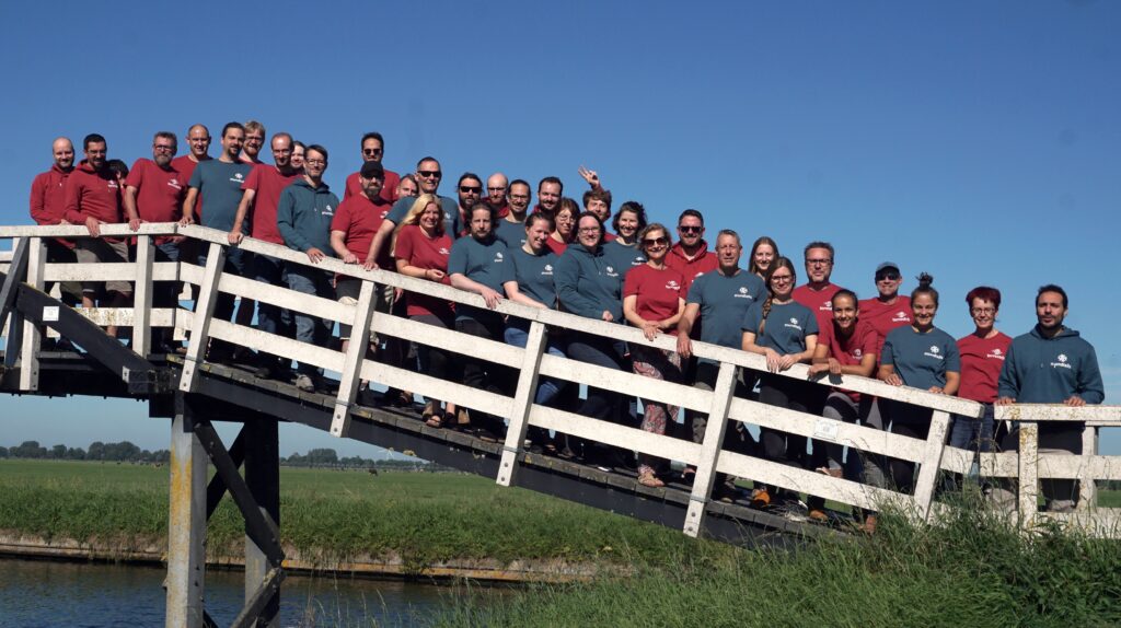
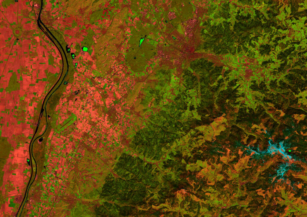
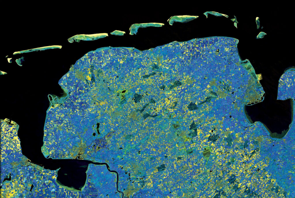
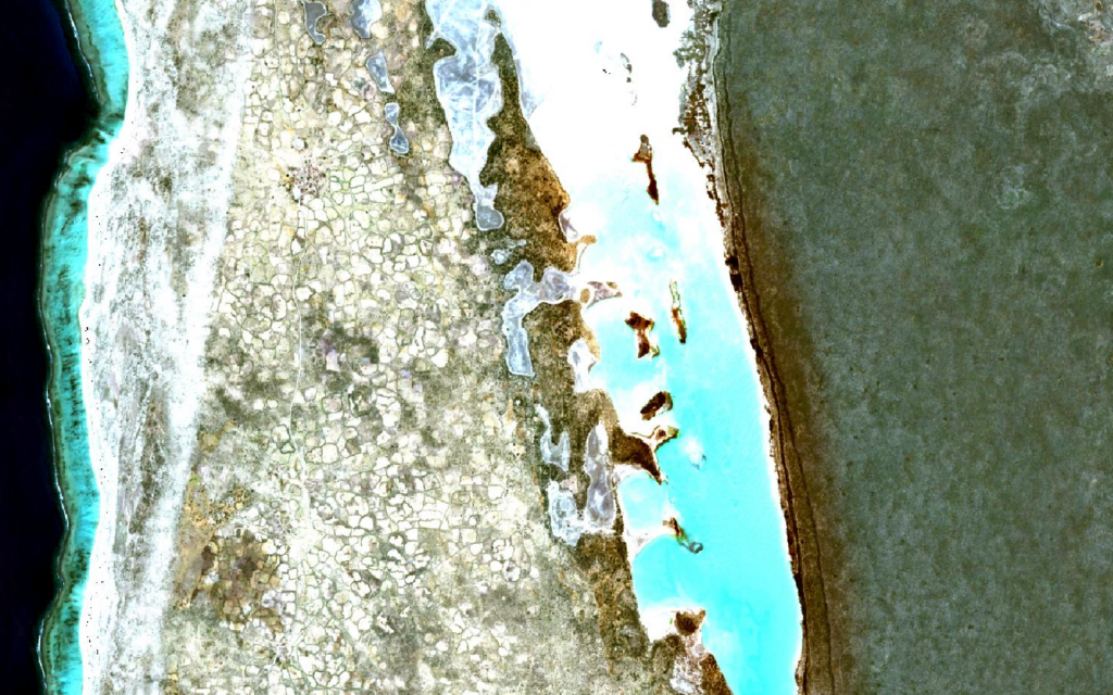
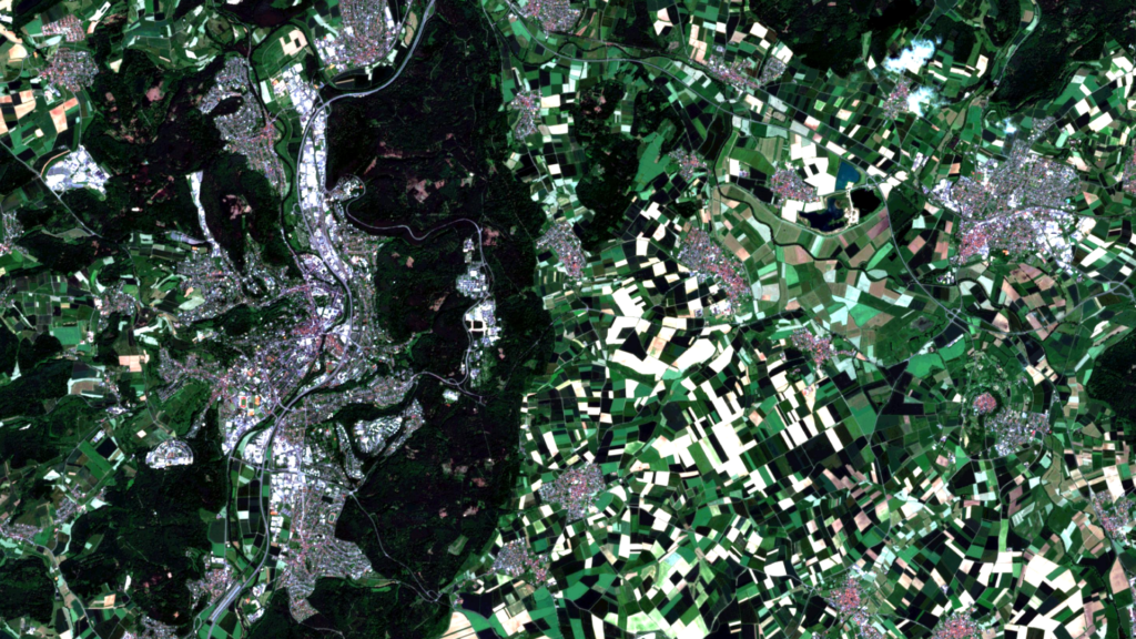
After 2 years, the time had finally come again: Together with our sister company terrestris GmbH & Co. KG, mundialis GmbH & Co. KG was at our regularly held, one-week retreat in the first week of September. This year in Spanbroek, Netherlands. (see also our satellite image of the month September ). In fantastic weather, […]
mundialis at the Bonn company run
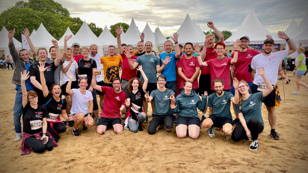
More than 10,000 participants took part in the 15th Bonn Company Run, organized by Weis Events GmbH, on August 24 in changeable weather but in high spirits. Together with our colleagues from terrestris GmbH & Co. KG and CISS TDI GmbH, we from mundialis GmbH & Co. KG took part with over 40 participants on […]
Automated single tree detection from aerial photos
Knowledge about the location of individual trees forms an important basis for various issues related to green infrastructure, spatial observation and climate. The mundialis GmbH & Co. KG developed a method for the automatic derivation of single tree locations from remote sensing data on behalf of the Regionalverband Ruhr (RVR). In the future, this will […]
GRASS GIS celebrates 40 years!
Yes, unbelievable but true:GRASSGIS has been available as free software for 40 years and is therefore a pioneer in the field of open source GIS. Grassgis is also an OSGeo and FOSSGIS e.V. funded project! On this occasion, from 02.06. – 06/06/23 a Grassgis Community- #Codesprint in the Czech Technical University in Prague. Hosted and […]
mundialis offers job bikes to employees
Job bikes leasing as a targeted contribution to employee health and more sustainable mobility. Employees benefit from new government subsidy. Mundialis has enabled its employees to use high-quality leased bicycles and e-bikes since June 2023. With the JobRad leasing offer, mundialis wants to specifically promote the health of its employees. “People who regularly ride bicycles […]
Conclusion of the FAIR Project
The weather and the climate dominate all our lives ? ? ? ? ? In particular, the extreme weather event that led to the severe flooding and high water on the Ahr River has again brought home to society just how much meteorological events can affect us.All people are affected by climate change, extreme weather […]
FOSSGIS 2023 – this time in Berlin again!
This year’s FOSSGIS conference will return to Berlin after 2007 (Humboldt University) and 2014 (Beuth University). As always, the organizers are FOSSGIS e.V. and this year the Institute of Geography at Humboldt University Berlin. Between March 15 and 18, the active members of the German-speaking community will meet in Berlin Adlershof and, for the first […]
++ Eine neue Heimat für Actinia ++
Der Source Code von actinia ist umgezogen! Um die actinia GitHub Repositories übersichtlicher zu stukturieren, ist der Source Code von actinia in eine eigene Organisation [actinia-org]¹ umgezogen. Hier liegt jetzt neben dem [actinia-core]² Repository auch die Plugins, eine [Einführung in actinia]³, der [actinia-python-client]⁴, eine [Prozesskettensammlung]⁵, die wir nach und nach füllen werden und vieles mehr. […]
Positive towards the future – Management changes at mundialis
Positive towards the future Management changes at mundialis After four years, the two managing directors Torsten Brassat and Marc Jansen handed over the management of mundialis on September 30th, 2022, but remain closely connected to the mundialis as managing directors of the company terrestris. “For their excellent work, with which Torsten Brassat and Marc Jansen […]
Recap of FOSS4G 2022 in Florence
In August, we at mundialis had the pleasure of attending FOSS4G 2022 in Florence. As it was again a face-to-face event, there were many opportunities to talk to other participants, exchange ideas, develop ideas and of course listen to a number of excellent talks (core conference programme). The beautiful city of Florence at the end […]