Satellite Image of the Month January 2025: Malaspina Glacier (Alaska, USA)

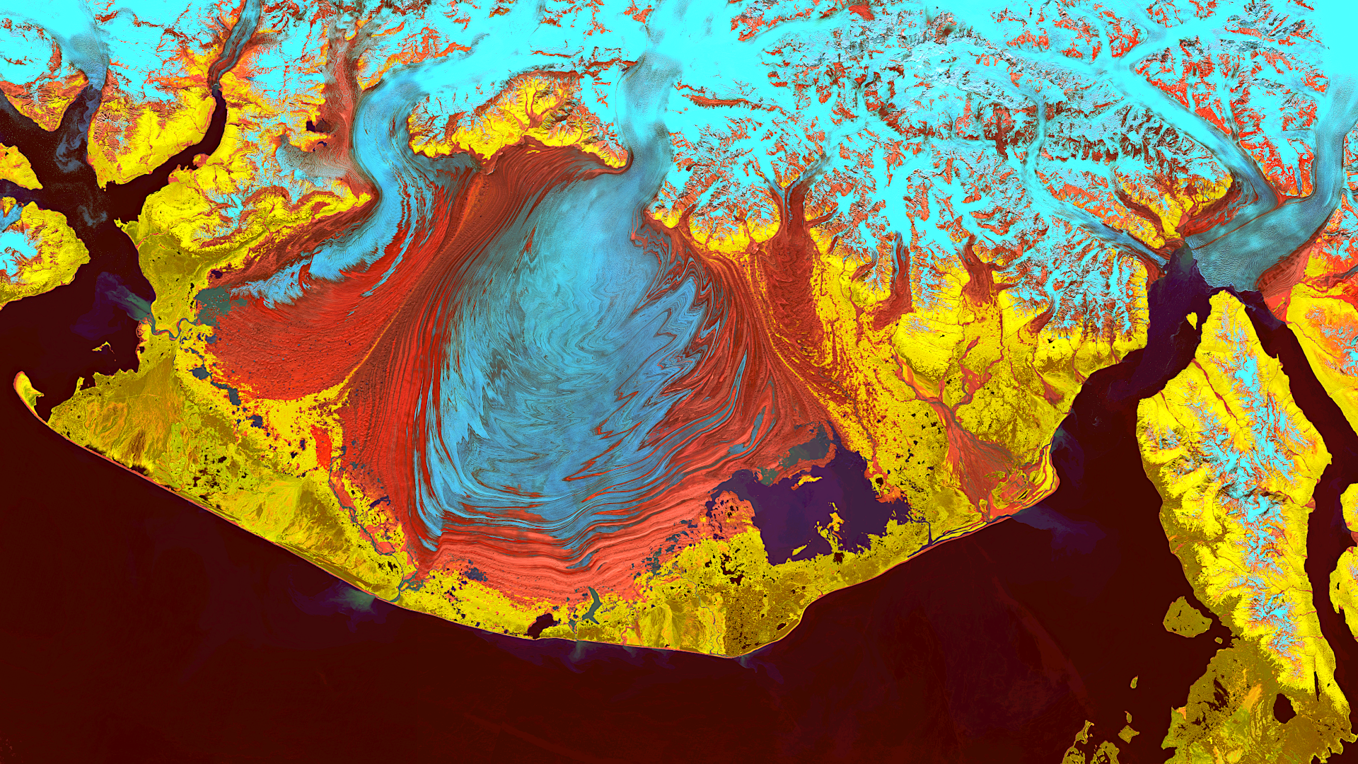
Our Satellite Image of the Month for January features the Malaspina Glacier on Alaska’s Pacific Coast.
Structure of the image
The image is based on Sentinel-2 data from the EU Copernicus program. Sentinel-2 data are freely available, multispectral satellite images. After downloading, multiple scenes were merged using open-source software, atmospherically corrected, and then a color composition was calculated using three different spectral bands.
The selected false-color composition allows for vegetation analysis. The channels used are 11 (shortwave infrared), 8A (visible and near-infrared), and 4 (visible red), which provide a resolution of 20 meters. Healthy vegetation appears in shades ranging from yellow to vibrant green and can easily be distinguished from bare ground, which is displayed in a spectrum of pink to bright magenta. Clouds appear white, water is depicted in dark blue to black, and ice is shown in dynamic blue tones.
About the Malaspina Glacier
The Malaspina Glacier is the largest piedmont glacier in North America, located in southern Alaska at the foot of the St. Elias Mountains. Piedmont glaciers, also known as foreland glaciers, spread out onto flat terrain at the base of mountains and are not confined by mountain ridges. The Malaspina Glacier spans an area of about 3,900 square kilometers, stretches 45 kilometers in length, and is known for its fan-shaped form created by the convergence of several glaciers on relatively flat ground.
The glacier is named after Alessandro Malaspina, an Italian explorer who surveyed the region in the late 18th century. It consists of the Seward, Agassiz, and Marvine glaciers, which flow from the St. Elias Mountains into the coastal plain. The glacier neither reaches the sea nor a lake, and is therefore classified as neither a tidewater nor a lake glacier. It is up to 600 meters thick and lies as much as 300 meters below sea level in certain areas.
At the southeastern edge of the glacier lies Malaspina Lake, formed by a previous glacier advance. Nearly the entire glacier is located within the Wrangell-Saint-Elias National Park, a UNESCO World Heritage Site. Between 1980 and 2000, the Malaspina-Seward Glacier system lost about 20 meters of thickness, contributing 0.5% to global sea level rise. The glacier has been recognized as a National Natural Landmark since 1969.
Glacier Features in the Image
The satellite image showcases various regions of the glacier. Ice and snow-covered areas appear light blue, while areas covered with debris and soil are displayed in red. This material is transported to the glacier’s terminus, where it is deposited, creating the visible wave-like patterns in the image. Vegetated areas, especially near the coast, appear yellow. The ocean is rendered in black, and Malaspina Lake is shown in dark violet.
A Different View of the Region
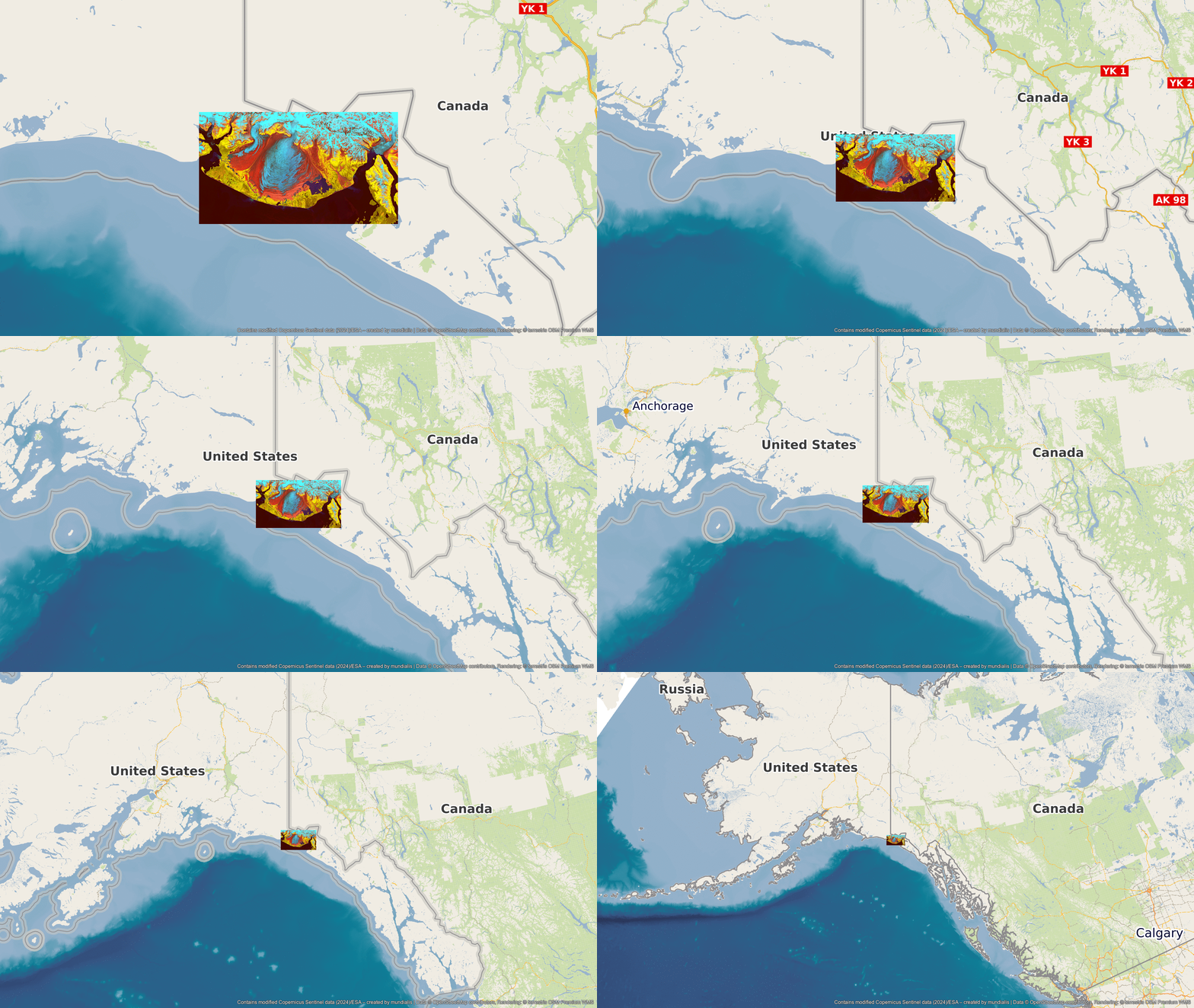
To better understand the geographical location of the Malaspina Glacier, the following representation is useful. The animations show the Satellite Image of the Month and its surroundings at various scales. The map depictions were created using the OpenStreetMap Premium service provided by our sister company, terrestris.

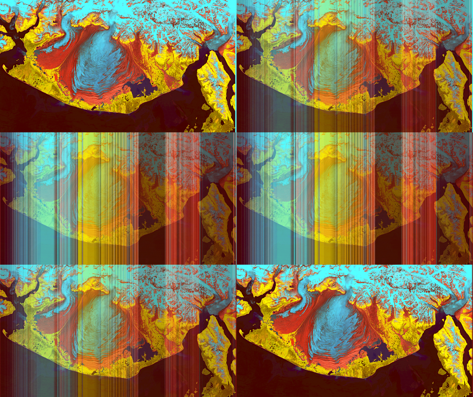
The colors of the image also look stunning when arranged.

Contains modified Copernicus Sentinel data (2024)/ESA – created by mundialis
Satellite images for your wall are available at https://art-from-space.de
