
High-resolution surface classification with AI and open geodata – Webinar recording
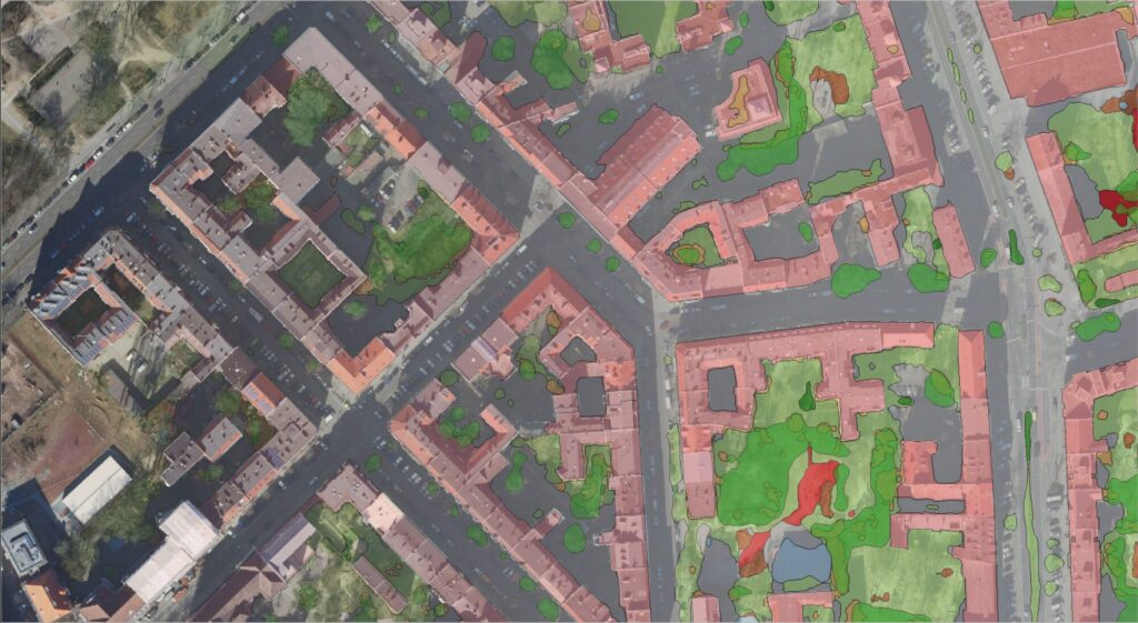
In the second part of our impervious surface series, we demonstrate how freely available true orthophotos can be transformed into a detailed, high-resolution land cover classification using modern AI architectures. Building on our flexible AI framework, we provide an overview of current AI developments and demonstrate their added value in the semantic segmentation of urban […]
High-Resolution Surface Classification with AI and Open Geospatial Data – Webinar Invitatio
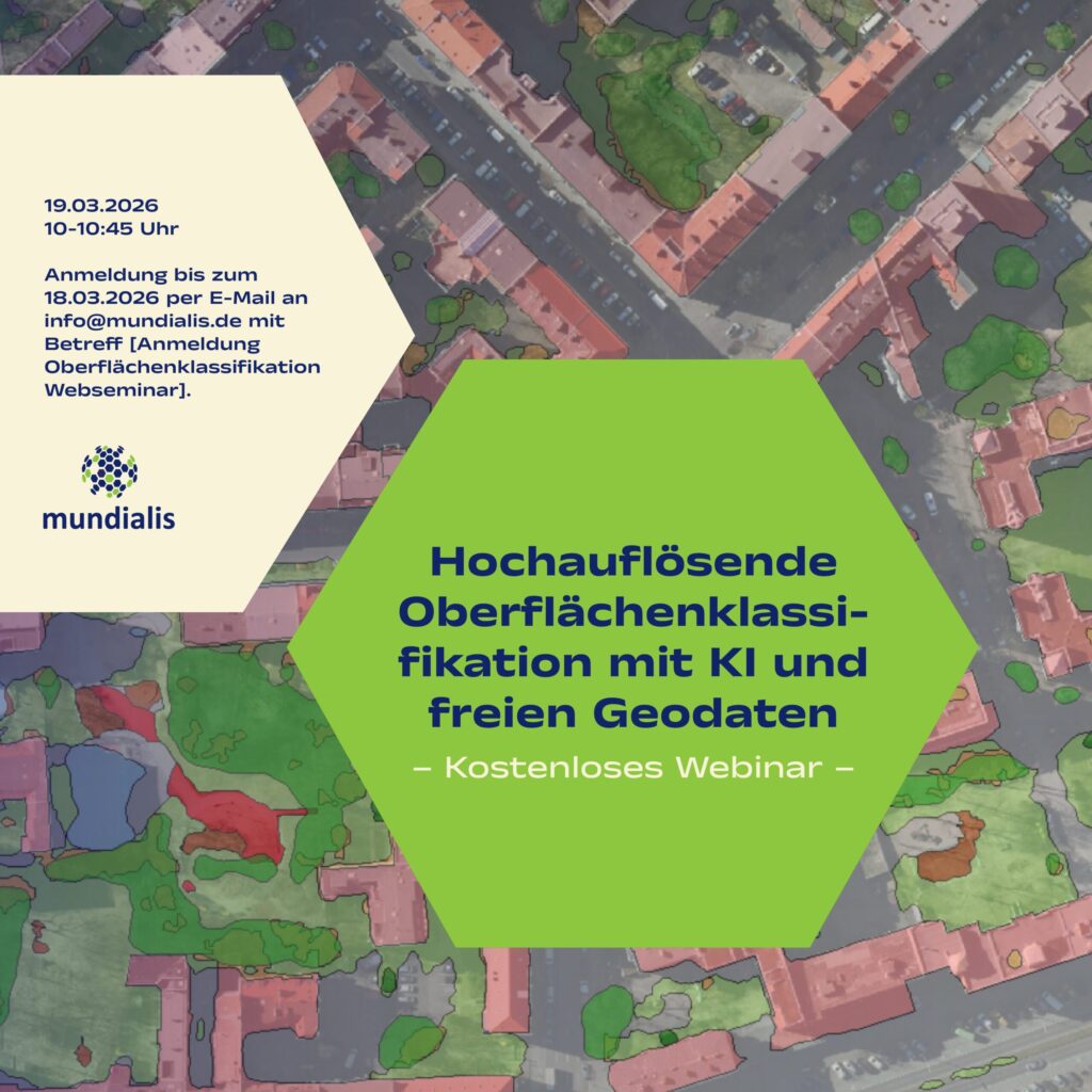
(The webinar will be held in german)We invite you to our webinar, “High-Resolution Surface Classification with AI and Open Geospatial Data – Technology and Application Examples,” on March 19, 2026, from 10:00 to 10:45 AM. What it’s about: In the second part of our impervious surface series, we demonstrate how freely available true orthophotos can […]
KIBI: AI-based identification and classification of protected plant communities
We are pleased to announce our upcoming research project KIBI!Together with our partners Koblenz University of Applied Sciences and Forschungszentrum Jülich under the consortium leadership of CISS TDI GmbH, we will tackle the precise mapping of protected plant communities (GPG) using satellite and aerial survey data. We use machine learning to identify and classify GPGs […]