Lennart Meine
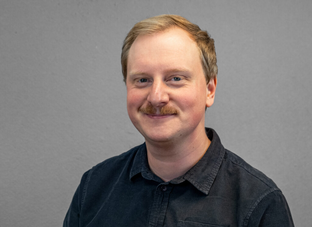
Lennart studied Physical Geography (M.Sc.) in Cologne and worked there at the Institute of Geography. He then worked as a research assistant at the Federal Highway Research Institute (BASt) and was responsible for climate change impacts and adaptation projects. He is project manager at mundialis.
Victoria-Leandra Brunn
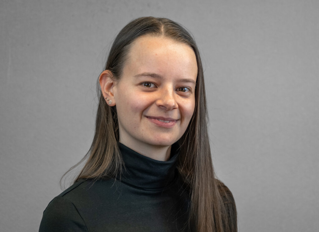
Victoria-Leandra studied Geodesy and Geoinformation (M.Sc.) at the University of Bonn, where she worked at the Chair of Geodetic Earth System Research. She supports mundialis in remote sensing analyses.
Jonas Pischke
Jonas is a master’s student in geography at the University of Bonn, focusing on the diverse applications of remote sensing. During an internship at mundialis, he gained practical experience and continues to support the team in processing and analyzing remote sensing data.
Markus Eichhorn
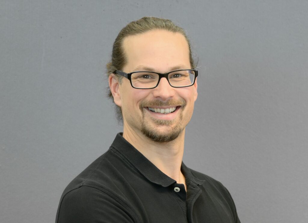
Markus studied geoinformatics. Through GIS development, he discovered his passion for geospatial data and developed into an expert in geomarketing, remote sensing and the strategic use of geospatial data. He is also a Level C IPMA certified project manager.
Carmen Tawalika
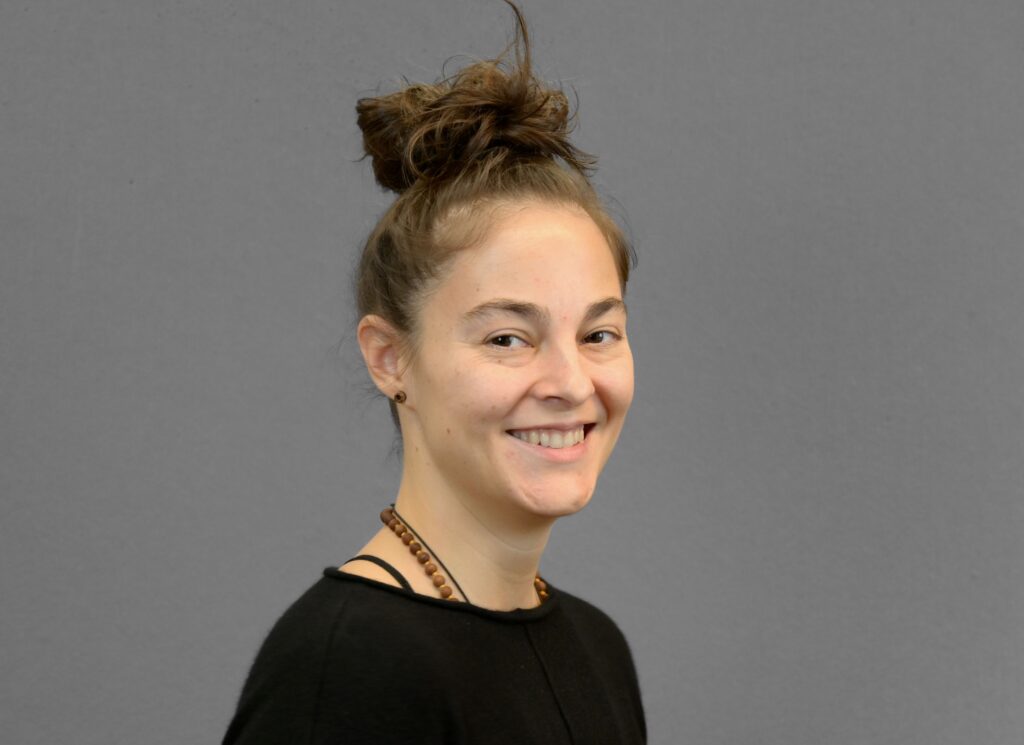
Carmen studied geography and has been with mundialis since its inception. She is a supporter of open source and the main developer of actinia. She also takes over the Technical Lead at mundialis.
Dr. Markus Metz
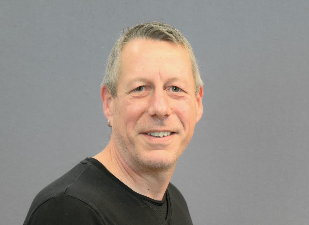
Markus Metz received his PhD in biology from the University of Oldenburg and came to GIS and remote sensing via biogeography and is a long-time developer of the core components of GRASS GIS. At mundialis, he is the specialist for all topics related to remote sensing.
Anika Weinmann
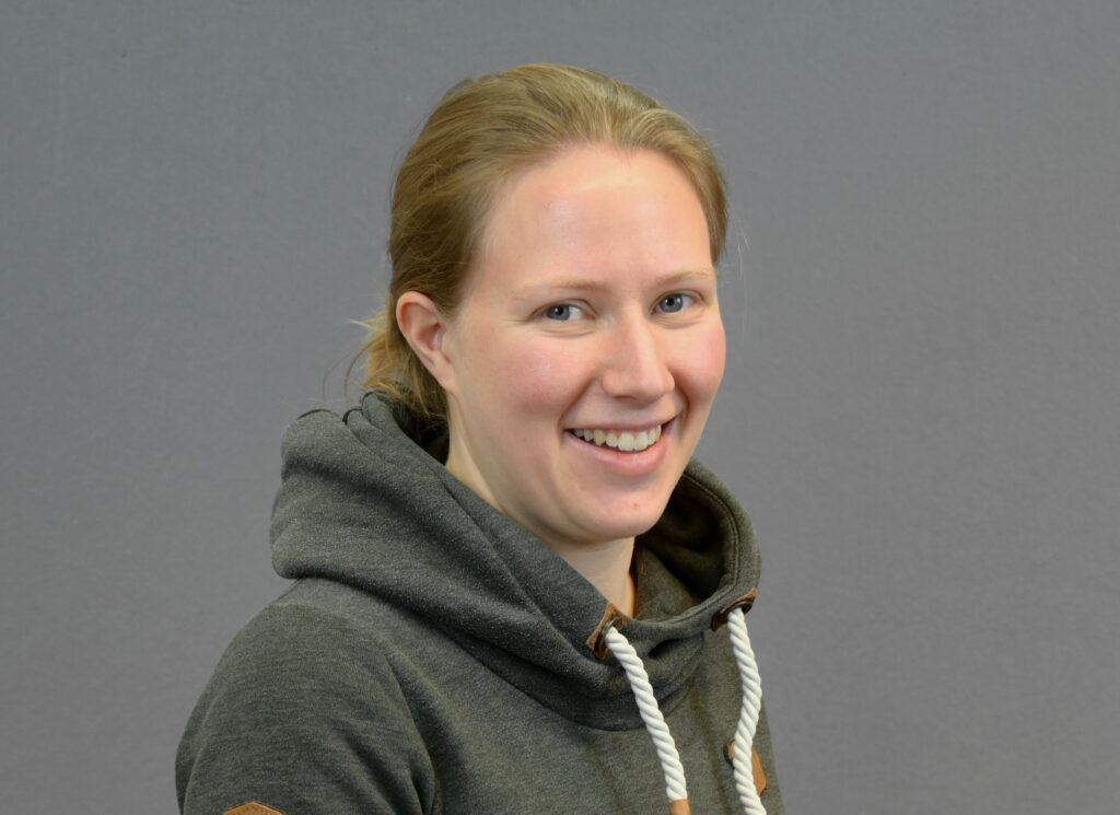
Anika studied geodesy and geoinformation at the University of Bonn. It specializes in solving remote sensing analysis using Deep Learning techniques.
Jan Orzekowsky
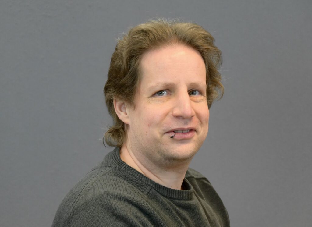
Jan studied computer science at the Technical University of Cologne. He worked as a system administrator at terrestris GmbH & Co KG for three years before joining mundialis.
Guido Riembauer
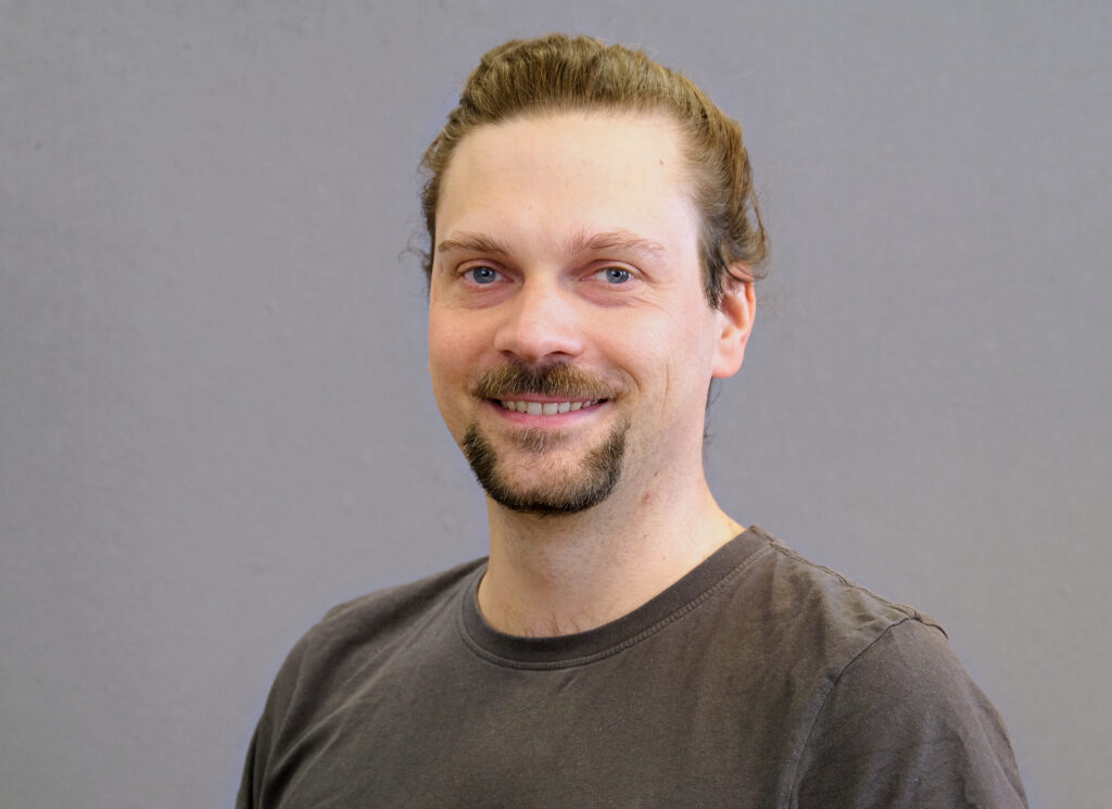
Guido studied Geoinformation & Visualization at the University of Potsdam and worked, among others, in the ESA Earth Observation Program before joining mundialis. He supports mundialis in development and data analysis and is specialized in radar remote sensing.
Julia Haas
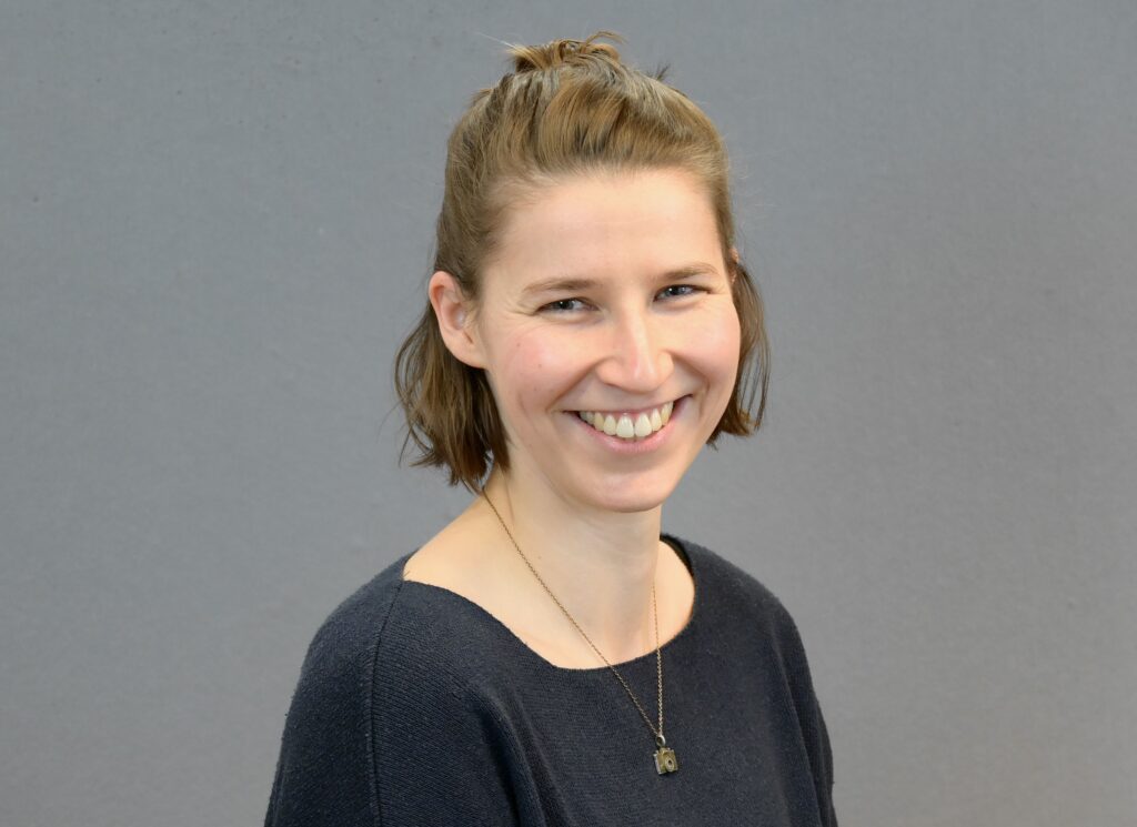
Julia studied geography at the University of Bonn. She came to geospatial data and remote sensing via environmental monitoring and sustainability analysis. It supports mundialis in the analysis of massive data volumes with a focus on time series analysis and process automation.
